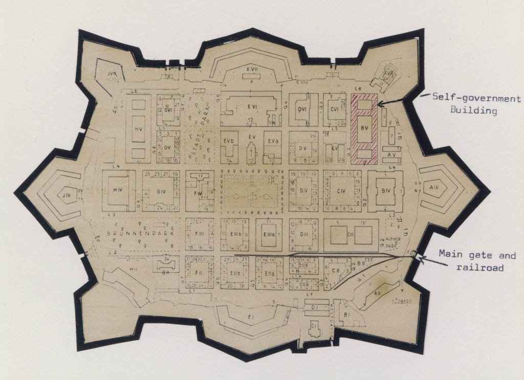
Mappa del ghetto di Theresienstadt (Terezín), ritagliata, incollata e annotata in inglese da un sopravvissuto. La mappa risale agli anni 1942–1945.
We would like to thank Crown Family Philanthropies, Abe and Ida Cooper Foundation, the Claims Conference, and BMF for supporting the ongoing work to create content and resources for the Holocaust Encyclopedia. View the list of all donors.