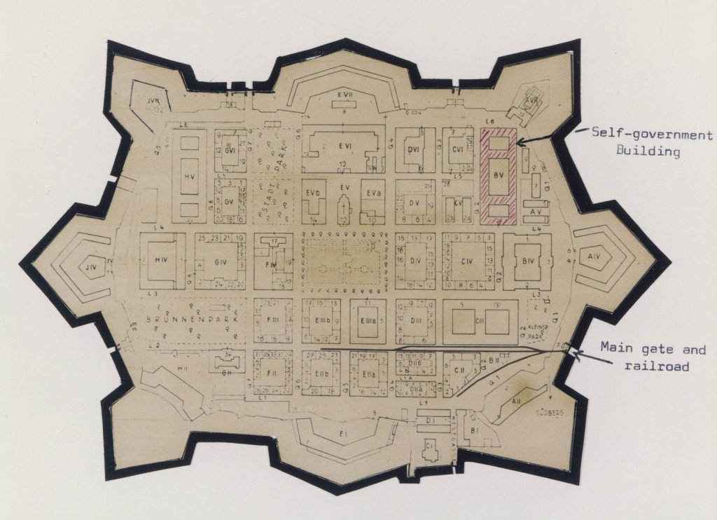
Χάρτης του γκέτο του Τερεζίενσταντ (Τερεζίν), τον οποίο ένας επιζών είχε αποκόψει και στερεώσει σε βάση, προσθέτοντας επισημάνσεις στα αγγλικά. Ο χάρτης χρονολογείται στην περίοδο 1942–1945.
We would like to thank Crown Family Philanthropies, Abe and Ida Cooper Foundation, the Claims Conference, and BMF for supporting the ongoing work to create content and resources for the Holocaust Encyclopedia. View the list of all donors.