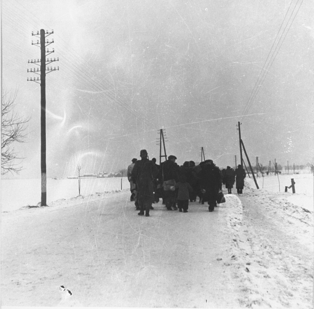
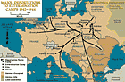
ホロコーストと第二次世界大戦の間、またその前後の重要な場所を示した地図やテーマ別の地図をアルファベット順のリストで閲覧する。これらの地図は収容所、ゲットー、大量虐殺、そして軍事作戦、追放、侵攻といった様々な地理的な’動きを示しています。
1942年1月にベルリンで開かれたヴァンゼー会議で、親衛隊(ナチス政権の精鋭護衛兵)とドイツ政府省庁の代表者は、「最終的解決」(ナチスによるヨーロッパ在住ユダヤ人の殺害計画)に含まれるヨーロッパ在住ユダヤ人を1,100万人と見積もりました。この数字は、アイルランド、スウェーデン、トルコ、英国などの占領国以外のユダヤ人も含まれていました。…
We would like to thank Crown Family Philanthropies, Abe and Ida Cooper Foundation, the Claims Conference, and BMF for supporting the ongoing work to create content and resources for the Holocaust Encyclopedia. View the list of all donors.