Browse an alphabetical list of geographic and thematic maps that depict important locations before, during, and after the Holocaust and World War II. These maps also show sites of camps, ghettos, and mass killings, and various geographical movements, such as military operations, deportations, or invasions.
<< Previous | Displaying results 151-160 of 400 for "Map" | Next >>


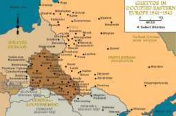
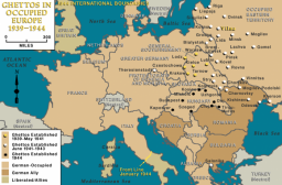
Germany occupied western Poland in fall 1939. Much of this territory was annexed to the German Reich. Eastern Poland was not occupied by German forces until June 1941. In south-central Poland the Germans set up the Generalgouvernement (General Government), where most of the early ghettos were established. Ghettos were enclosed districts of a city in which the Germans forced the Jewish population to live under miserable conditions. Ghettos isolated Jews by separating Jewish communities both from the…


We would like to thank Crown Family Philanthropies, Abe and Ida Cooper Foundation, the Claims Conference, EVZ, and BMF for supporting the ongoing work to create content and resources for the Holocaust Encyclopedia. View the list of donor acknowledgement.