![A transport of Jewish prisoners marches through the snow from the Bauschovitz train station to Theresienstadt. [LCID: 69720]](https://encyclopedia.ushmm.org/images/large/781755a6-1ba5-4d8e-8b2b-9f25bdf3687f.jpg)
Browse an alphabetical list of geographic and thematic maps that depict important locations before, during, and after the Holocaust and World War II. These maps also show sites of camps, ghettos, and mass killings, and various geographical movements, such as military operations, deportations, or invasions.
<< Previous | Displaying results 1-13 of 14 for "Map" | Next >>


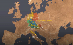
View an animated map describing some of the challenges survivors faced in the aftermath of the Holocaust, when many feared returning to their former homes.
Founded by ethnic Turks in 1299, the Ottoman Empire took its name from Osman I, the leader of what was initially a small principality in northwestern Anatolia (Asia Minor). Over the course of the next six centuries, Ottoman rule expanded across much of the Mediterranean Basin. At the height of its power under Suleiman the Magnificent (1494-1566), the Ottoman Empire represented a vast multilingual and multiethnic realm encompassing southeastern Europe, North and East Africa, Western Asia, and the Caucasus.…

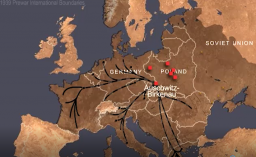
View an animated map showing key events of the Holocaust, the persecution and murder of 6 million Jews by the Nazi regime and its allies and collaborators.
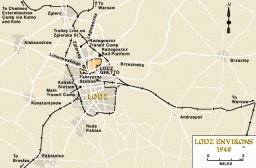
View an animated map of key events in the history of the Lodz ghetto in occupied Poland, from establishment by the Germans in 1940 until destruction in 1944.
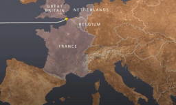
View an animated map describing the voyage of the St. Louis and the fate of its passengers, Jewish refugees from Nazi Germany in May-June, 1939.
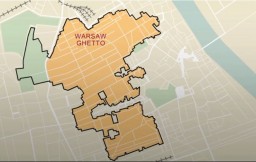
View an animated map showing key events in the history of the Warsaw ghetto, the largest ghetto established by the Germans in occupied Europe.


We would like to thank Crown Family Philanthropies, Abe and Ida Cooper Foundation, the Claims Conference, EVZ, and BMF for supporting the ongoing work to create content and resources for the Holocaust Encyclopedia. View the list of donor acknowledgement.