Browse an alphabetical list of geographic and thematic maps that depict important locations before, during, and after the Holocaust and World War II. These maps also show sites of camps, ghettos, and mass killings, and various geographical movements, such as military operations, deportations, or invasions.
<< Previous | Displaying results 201-210 of 400 for "Map" | Next >>


Kristallnacht—literally, "Crystal Night"—is usually translated from German as the "Night of Broken Glass." It refers to the violent anti-Jewish pogrom of November 9 and 10, 1938. The pogrom occurred throughout Germany, which by then included both Austria and the Sudetenland region of Czechoslovakia. Hundreds of synagogues and Jewish institutions all over the German Reich were attacked, vandalized, looted, and destroyed. Many were set ablaze. Firemen were instructed to let the synagogues burn but to…

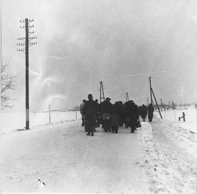
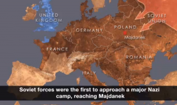
As Allied troops moved across Europe in a series of offensives on Germany, they began to encounter and liberate concentration camp prisoners, many of whom had survived death marches into the interior of Germany. Soviet forces were the first to approach a major Nazi camp, reaching the Majdanek camp near Lublin, Poland, in July 1944. Surprised by the rapid Soviet advance, the Germans attempted to demolish the camp in an effort to hide the evidence of mass murder. The Soviets also liberated major Nazi camps…

View animated map of key events toward the end of WWII in Europe as Allied troops encountered concentration camps, mass graves, and other sites of Nazi crimes.


We would like to thank Crown Family Philanthropies, Abe and Ida Cooper Foundation, the Claims Conference, EVZ, and BMF for supporting the ongoing work to create content and resources for the Holocaust Encyclopedia. View the list of donor acknowledgement.