Map
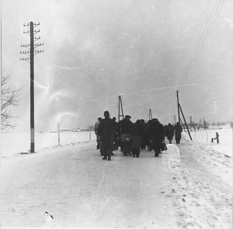
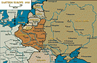
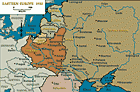
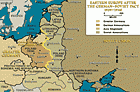
Browse an alphabetical list of geographic and thematic maps that depict important locations before, during, and after the Holocaust and World War II. These maps also show sites of camps, ghettos, and mass killings, and various geographical movements, such as military operations, deportations, or invasions.
<< Previous | Displaying results 1-10 of 44 for "Map" | Next >>
-
-
-
-
-
-
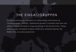
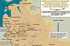
Einsatzgruppen
Animated MapView an animated map of activities of the Einsatzgruppen—often called "mobile killing units"—as they followed the German army into newly seized territories.
-
-
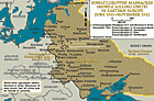
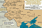
Einsatzgruppen massacre sites in Ukraine and surrounding areas
MapIn the summer of 1941, following Germany's attack on the Soviet Union, the Germans began to perpetrate mass shootings of Jewish men, women, and children in territory seized from Soviet forces. These murders were part of the “Final Solution to the Jewish Question,” the mass murder of Europe’s Jews. Many of these mass shootings were organized and committed by task forces or special action groups, called Einsatzgruppen in German. Units of Einsatzgruppen followed the German army as it invaded the Soviet…
-
-